01
Power infrastructure
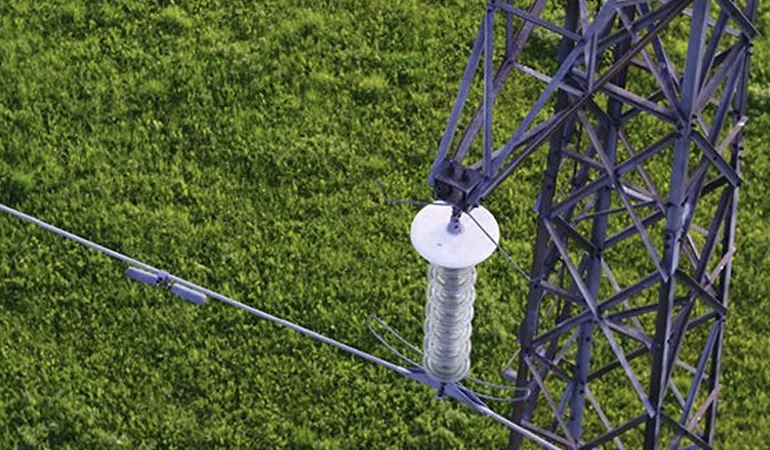
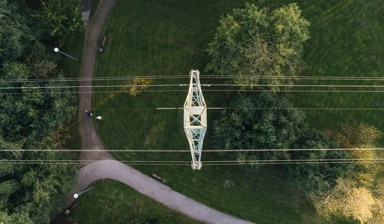
Document transmission towers, lines, and visible components from agreed angles.

Inspection & Mapping
Get a closer look at towers, lines, and hard-to-reach assets.
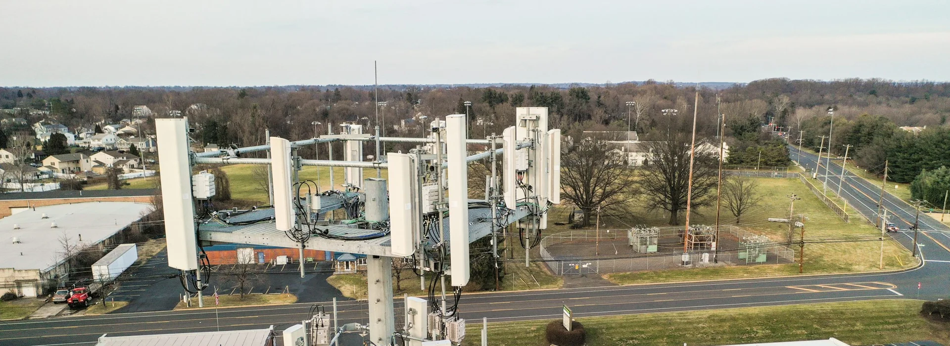
Overview
Tell us which components your crew needs to see. We’ll agree on the angles in advance so the photos can help your field team plan its next visit.
Document transmission towers, lines, and visible components from agreed angles.
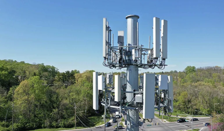
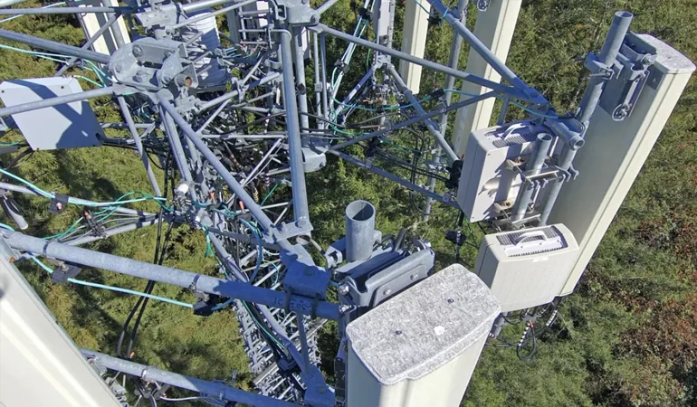
Capture antennas, masts, and fittings for a closer review.
Build a visual record so teams can compare asset conditions over time.
Flight planning is coordinated with the asset owner and the site’s safety requirements.
Image gallery
Start a conversation
Tell us where it is, when you need us, and what you’d like to see from the air. We’ll help you figure out what kind of flight makes sense.